230


E.Mail link above


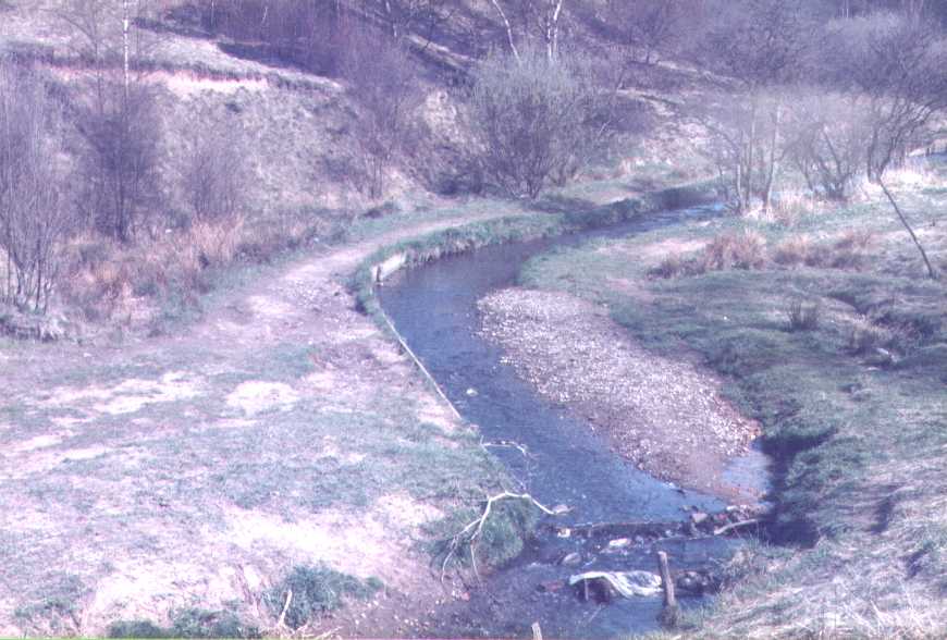
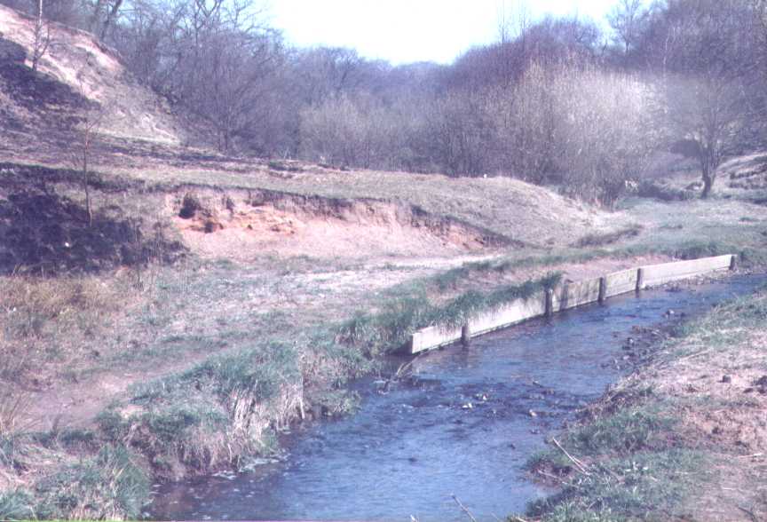
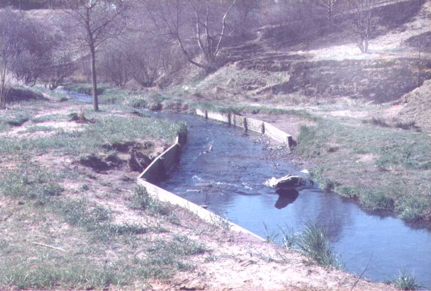
The initial page, Hopwood deals with a local area and the effects of erosion by running water. I expect to add comments on Postglacial Materials shortly, since the local area has a heavy cover of glacial drift. There are bedrock outcrops in the clough, but they are hard to spot.

Regrettably I have visited the area again in 2018 and cannot trace any of the locations in the photos shown here.

They can, however be used to show how field sketching may be done. I plan to add sketches here later.

Here an attempt has been made to deflect the flow away from the footpath seen to the left of the channel. It is clear that the flood overran the wooden boarding and eroded the path too. Note the large shingle bank too.

Plate1 looking upstream.

Click on the area of the photo for a better view.

The boards are again attempting to protect the line of the path. Note the area of earth beyond the path. How can you explain this steep slope and the fact that there is bare soil and subsoil visible there?

What is the current appearance of this area?

Plate2 looking upstream.

Click on the area of the photo for a better view.

Both erosion and deposition can clearly be seen here. The boards have attempted to restrain the channel, and are at a point where the rate of flow clearly changes. Can you see any reasons why there has been so much erosion middle left and yet there are sandy deposits in the foreground?

Plate3 looking downstream

Click on the area of the photo for a better view.

This Page created originally 2002? Photos are earlier still. Updated 2nd April 2018